Project Description:
The High Atlas Mountains have a unique habitat, home to an estimated 65% of Morocco’s endemic flora and 250 rare plant species. FloraAtlas tackles the lack of structured conservation efforts and floristic data in the area, by creating a trilingual database of the local flora that will be populated with relevant data by members of the High Atlas’ communities. This inclusive citizen science project aims to transform uncoordinated local practices into an organised, data-driven approach by developing a community-based plant management plan using Kapta, an innovative WhatsApp-based citizen science tool tested for the first time. Kapta enables local communities to collect, visualise, and analyse real-time plant data, integrating traditional ecological knowledge with digital innovation. This will enhance conservation capabilities, inform decision-making, and create a structured approach to biodiversity management. By empowering communities to monitor, manage, and protect plant species, the project strengthens long-term conservation and sustainable practices.
Project Type: Kickstarter
Theme: Resource Management
Mentor: Rachel Pateman
FloraAtlas – Inclusive Citizen Science for Plant Management in the High Atlas
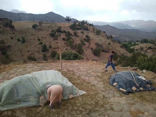
FloraAtlas is a citizen science initiative designed to strengthen biodiversity monitoring and conservation in Morocco’s High Atlas Mountains, a region rich in endemic and endangered plant species. Local communities depend heavily on natural resources, with almost half of household income linked to the collection or cultivation of wild plants. At the same time, climate change, unsustainable land use and limited coordination in conservation efforts threaten both biodiversity and livelihoods.
Funded by IMPETUS, FloraAtlas focused on building local capacity for biodiversity monitoring through citizen science. The project combined training in digital tools with the development of locally embedded researchers capable of designing and leading initiatives that generate data to support conservation and land restoration.
Community-Centred Research in Practice
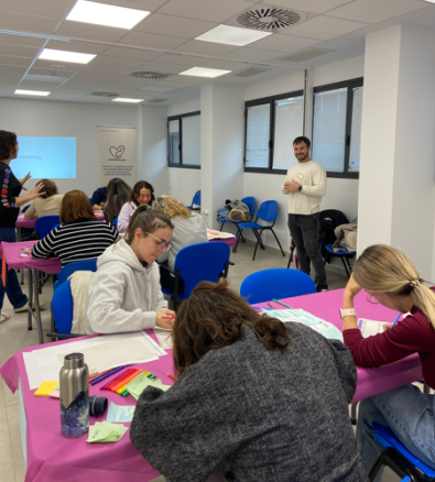
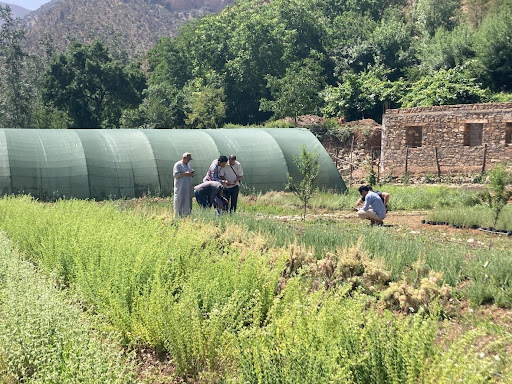
During the pilot phase, 90 participants aged 16-60 took part. Three plant species were selected for monitoring: two endemic, vulnerable flagship species and one endemic evergreen. Project objectives were refined throughout implementation to reflect the needs, abilities and interests of local communities, ensuring relevance and inclusivity.
The initiative was a collaboration between researchers from University College London and the Moroccan NGO MBLA. A participatory approach guided the project from the outset, with Amazigh communities actively involved in identifying priorities and selecting species. The goal was to empower citizens to collect meaningful biodiversity data using accessible digital tools.
Digital Tools for Inclusive Biodiversity Monitoring
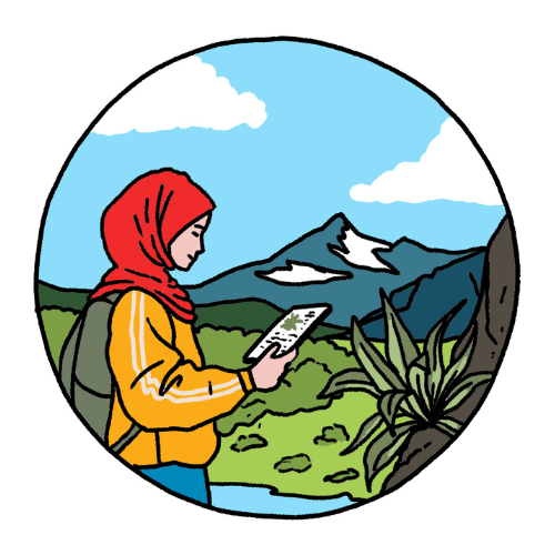
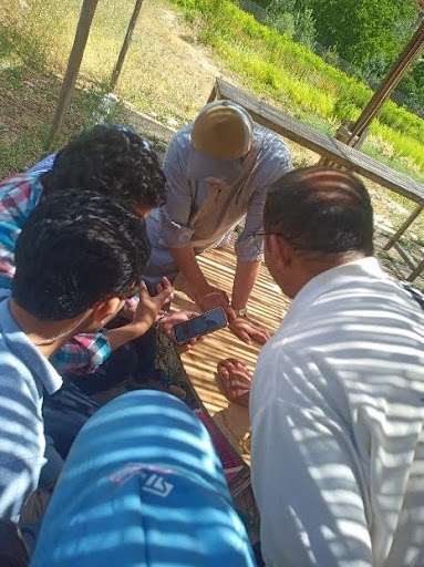
Kapta, a WhatsApp-based data collection tool, was initially introduced because of its intuitive interface. It supports photos, emojis and audio messages, making it suitable for participants with limited literacy. Citizen scientists collected GPS locations, images and observations of plant condition, contributing directly to local conservation knowledge.
Learning and Adapting Along the Way
Several challenges emerged during implementation that required the project to adapt. The project timeline from June to January did not align with the flowering period from April to May, which is critical for accurate plant identification. Logistical challenges posed by mountainous terrain and limited transport also required adjustments to training delivery.
Although Kapta proved easy to use, its data protocol was complex and raised concerns about long-term maintenance costs. To address this, Sapelli was introduced as a complementary tool. While less scalable, Sapelli was better adapted to the local context and supported by additional training, helping ensure sustainability beyond the funding period.
Sustaining broad citizen participation over repeated monitoring cycles also proved challenging. Annual biodiversity assessments require consistent involvement, which can be difficult to maintain. As a result, the strategy shifted toward working primarily with MBLA’s community researchers, who are trusted local actors and can ensure continuity.
The initial plan to create a multilingual digital database was also reconsidered. Given the pilot’s limited scope, the team instead developed illustrated educational posters. These presented locally relevant information, including plant identification, Latin names, uses, toxicity and ecological status. Posters were distributed to cooperatives and shared digitally via WhatsApp to maximise accessibility.
Key Outcomes and Achievements
- Community-led identification of conservation priorities and species selection.
- Training and testing of Kapta and Sapelli citizen science tools.
- Pilot monitoring of three endemic plant species.
- Production and distribution of illustrated educational posters.
- Support for MBLA’s follow-up reforestation monitoring project using Sapelli.
Insights for Future Citizen Science Projects
FloraAtlas highlighted important lessons for citizen science in remote and culturally diverse contexts. Digital tools must align with local literacy levels, connectivity and long-term maintenance capacity. Biodiversity monitoring requires structured, repeatable methods that account for ecological realities, such as seasonal flowering. Engagement strategies are more effective when focused on smaller, committed groups rather than broad participation.
Laying the Groundwork for Sustainable Conservation
FloraAtlas successfully built local capacity for plant monitoring, introduced appropriate digital practices and strengthened knowledge exchange between communities and researchers. The project laid a practical foundation for community-driven, sustainable conservation efforts in the High Atlas Mountains.